UAV (Drone) Inspection
Aerial Drone Inspections
INTRODUCTION
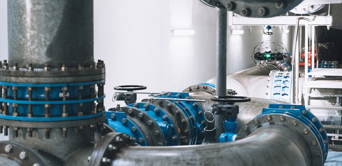
Reach what was once unreachable. Our aerial and confined space drone inspections deliver a bird's-eye view of your critical infrastructure — from towering indoor structures to expansive outdoor sites — without the risk, downtime, or cost of traditional methods.
engineering
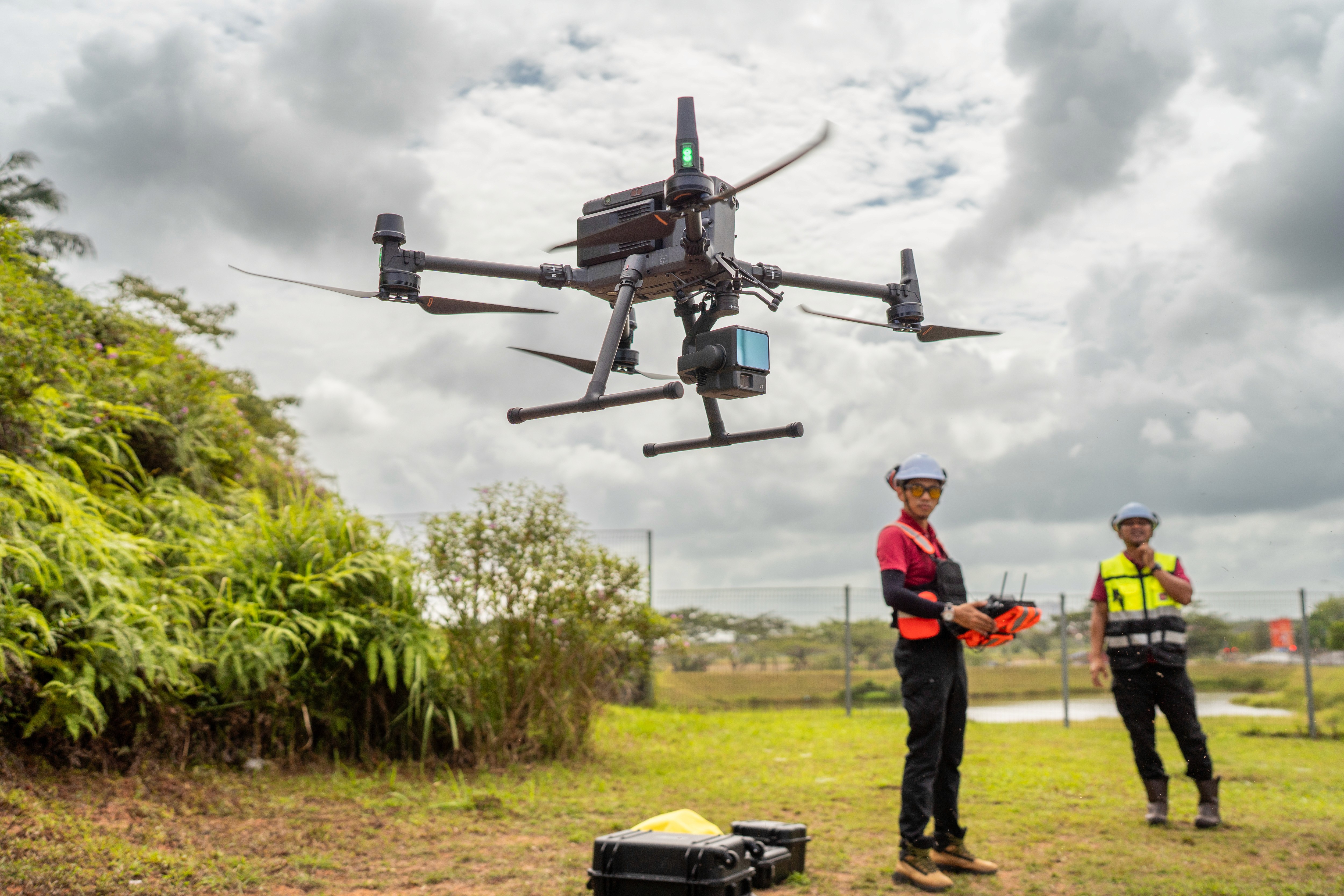
Every inspection is powered by a fleet of advanced drones equipped with high-resolution cameras, sensors, and LiDAR technology. This combination enables precise 3D mapping and spatial analysis of confined and hard-to-access spaces, capturing detailed imagery and data from vantage points ladders and scaffolding can't reach. The result is engineering-grade accuracy delivered remotely, safely, and fast.
the system
Unrivaled Aerial Precision
Our fleet of advanced drones carries high-resolution cameras and sensors, capturing detailed imagery from vantage points that were once difficult or impossible to reach.Data-Driven Insights
Beyond sharp visuals, every flight delivers actionable data. Our analysis turns raw imagery into clear, accurate information you can act on immediately.Safety First
Skip the scaffolding and manual climbing. Our drones reach hazardous or hard-to-access areas so your team doesn't have to, cutting risk without cutting corners.Professional Reporting
Every inspection comes with a clear, comprehensive report — including 2D maps and 3D models — giving you the detail you need for effective project management.Flexibility & Versatility
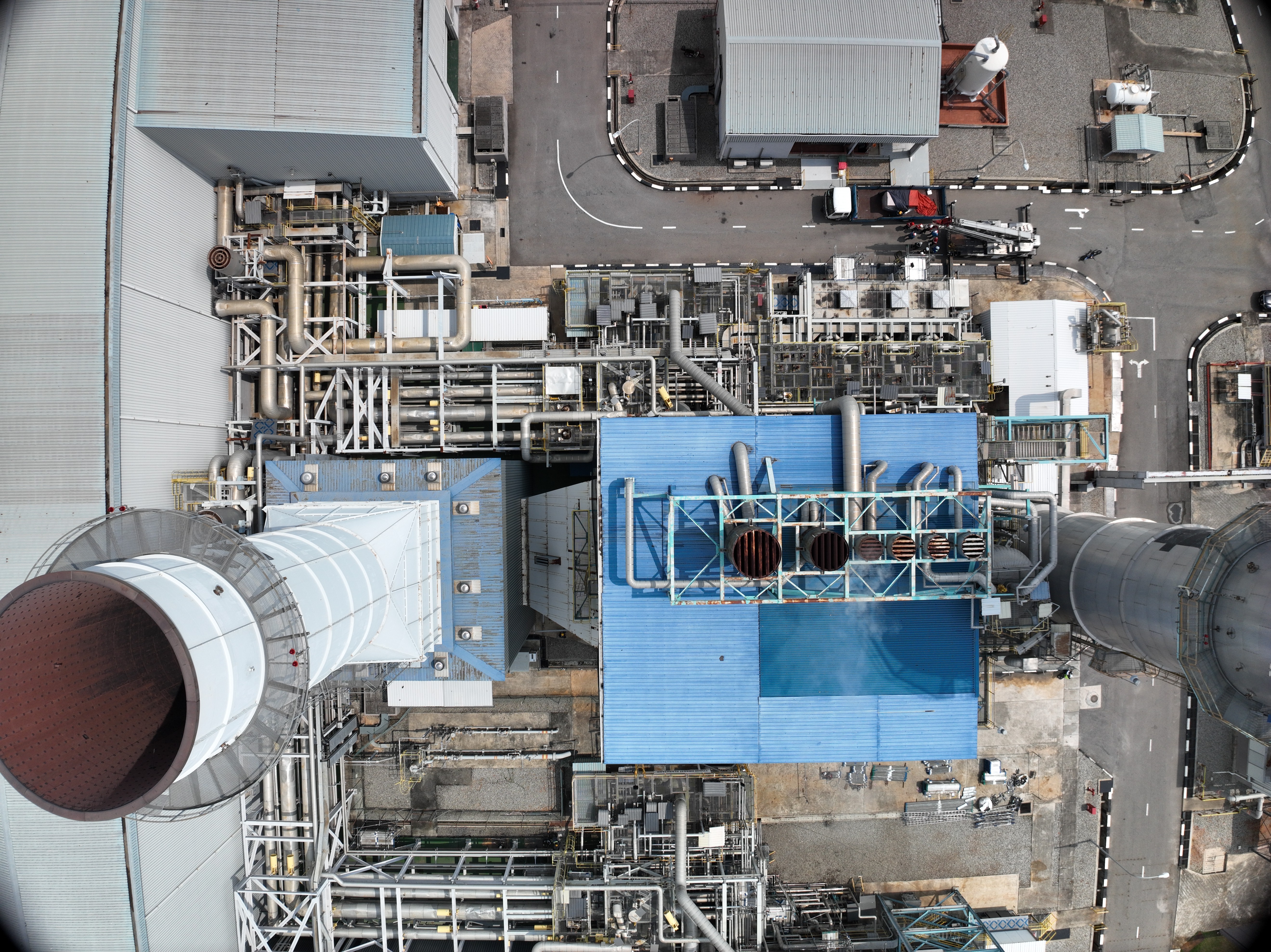
Our drones adapt to your industry, from oil & gas and agriculture to construction, energy, and infrastructure.
Project Impacts



Featured Projects