Utility Detection & Mapping
Accurate underground mapping solutions to locate, verify, and manage critical utility networks.

INTRODUCTION
Know what's beneath before you break ground. As pioneers in the field, we offer a comprehensive, precise solution that reveals the intricate subsurface landscape of your project site. Advanced technology and skilled professionals work together to give you unparalleled insight into underground utilities — empowering informed decisions, improved safety, and effective risk mitigation.
engineering
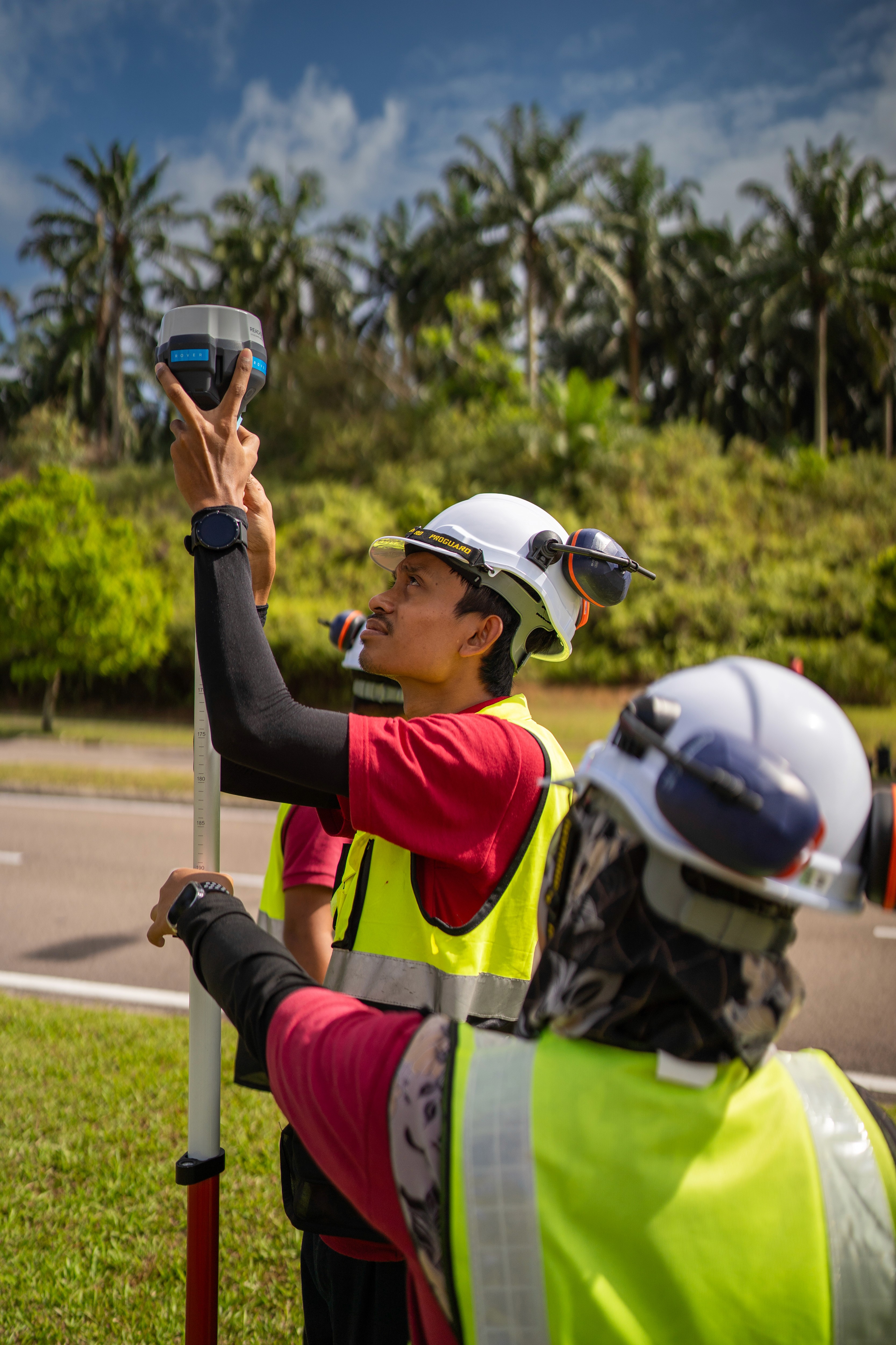
Our utility mapping combines Ground Penetrating Radar (GPR), electromagnetic induction, and other advanced detection technologies to accurately locate and map underground utilities — including water pipes, gas lines, electrical cables, and telecommunications infrastructure. Our skilled technicians interpret this data to produce precise subsurface maps, giving your project team a clear, reliable picture of what lies beneath before any excavation begins.
the system
Accurate Subsurface Mapping
GPR and electromagnetic induction technology accurately map and locate underground utilities, including water pipes, gas lines, electrical cables, and more.
Risk Mitigation
Identify underground infrastructure before excavation begins, preventing accidental damage and protecting your workforce and critical utility networks.Regulatory Compliance
Detailed utility maps support compliance with local excavation and construction safety regulations, reducing project delays and liability.Design & Planning Support
Precise subsurface data helps engineers and planners design around existing infrastructure, avoiding costly rework and clashes during construction.Non-Destructive Detection
All mapping is conducted without excavation or ground disturbance, keeping your site intact and operational.
Project Impacts



Featured Projects